Even if you intend to visit Slovenia for only a few days, you will quickly realize that we Slovenes are in love with our hills and mountains. And if you’re lucky enough, you’ll soon find out why. The Slovene highlands offer the most spectacular hiking trails in three high mountain ranges: the stunning Julian Alps, the rugged Kamnik-Savinja Alps, and the long Karawanke Alps. More than 10,000 kilometers of mostly groomed, well-maintained, and carefully marked hiking trails await you, making Slovenia a true hiker’s playground.
The mountains are beautiful and unique in all parts of the world. But the Slovene mountains offer their varied creations of nature as close, so accessible, but still as pristine and unspoiled as few regions in the European Alps.
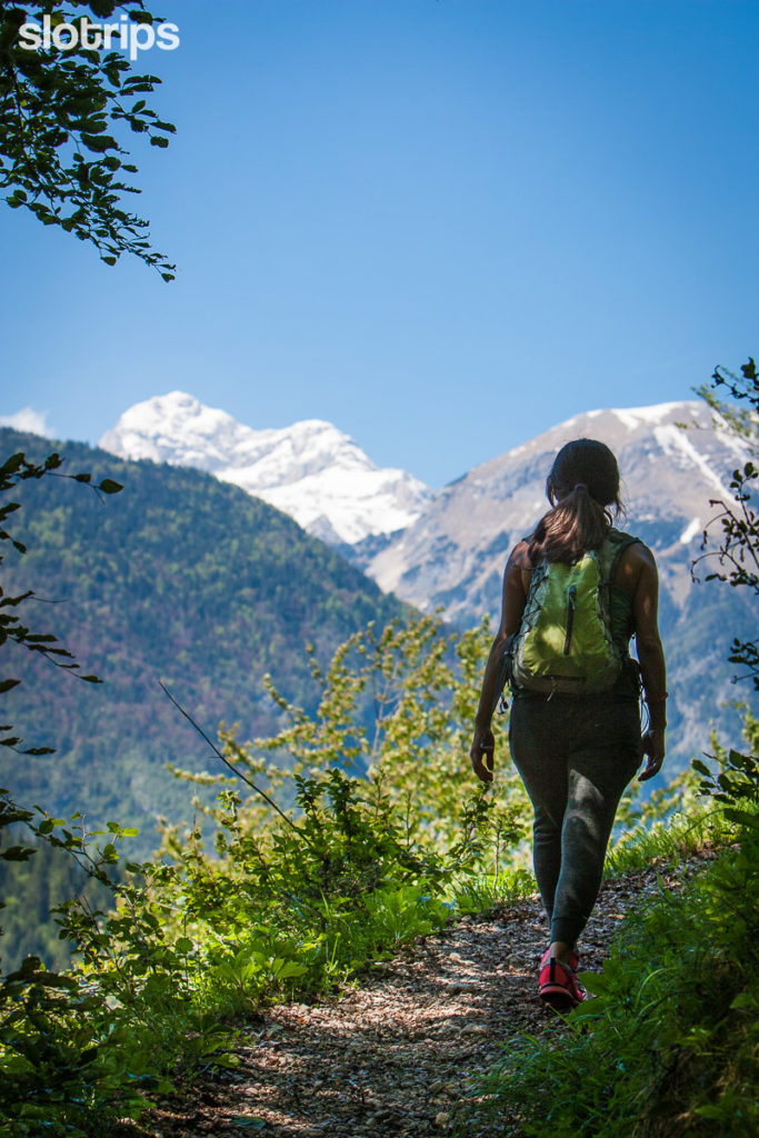
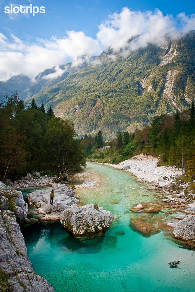
To help you with choosing your hike, to see and enjoy the greatest hiking trails and views, we have prepared some proposals for Slovenia’s most spectacular easy & moderate hikes. Not necessarily high mountain goals, but the beautiful hiking trails which also we, as indigenous connoisseurs of our mountain world, take as eternal inspiration.
Where it is logistically and timewise feasible, we will strive for circular hikes, loops – in whole or at least partly – while sticking to the old mountaineering principle of ascending the harder route and using the easier one to descend. We will walk with the sun – from east to west. Let’s hit the trail, then!
Velika Planina | Kamnik Saddle | Ojstrica & Mala Osojnica | Golica | Visevnik | Vogel | 7 Triglav Lakes | Sleme | Soca Trail | Krn Lake |
Map | Useful Info
Read first: Ultimate Guide to Hiking in Slovenia
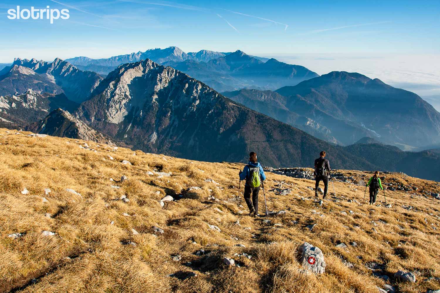
#1 VELIKA PLANINA, Best Easy Hike in the Kamnik-Savinja Alps
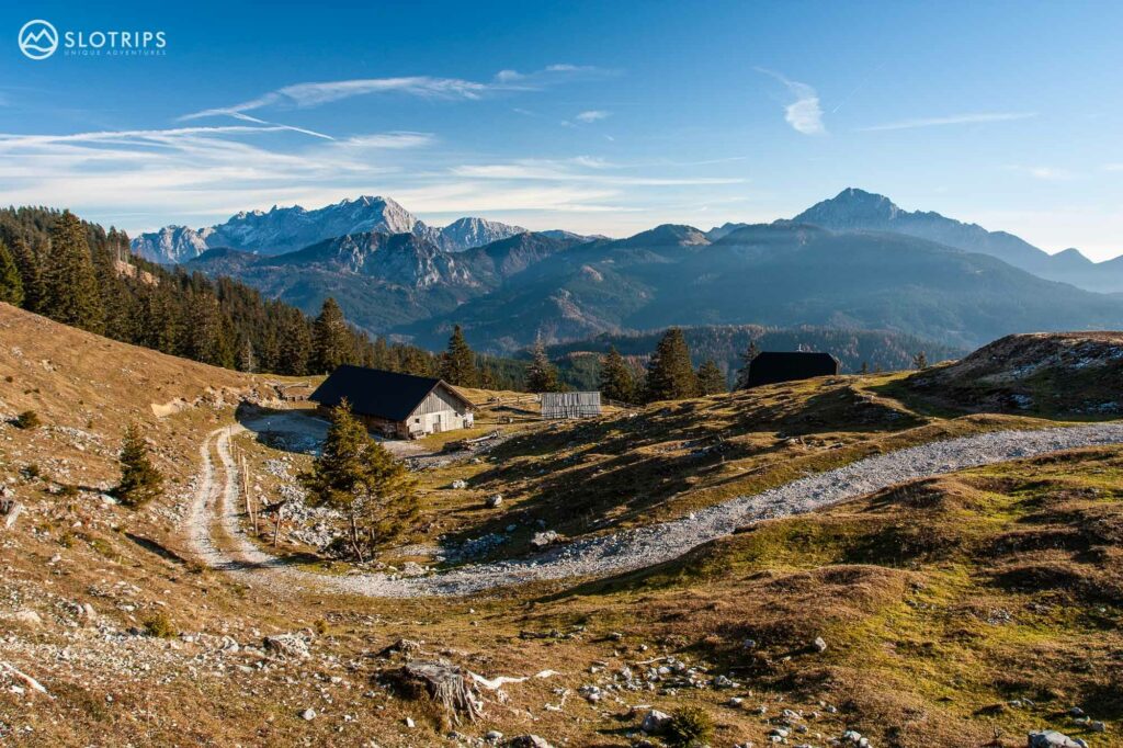
Let’s start closest to the Slovene capital, in the Kamnik-Savinja Alps, just north of Ljubljana. Driving through the medieval town of Kamnik we reach the saddle at Kranjski Rak, the entrance to the kingdom of the largest mountain pasture in this part of the Alps. Velika Planina (meaning the Great Alpine Meadow) is a vast natural-human monument: a bouquet of flowers just anywhere, and culturally, with cute, characteristically built herdsmen’s huts covered with pine shingles, a protected piece of architectural heritage.
People lived on this vast plateau as early as the Bronze Age, and over the centuries it was a venue of friction between landowners and farmers from nearby valleys.
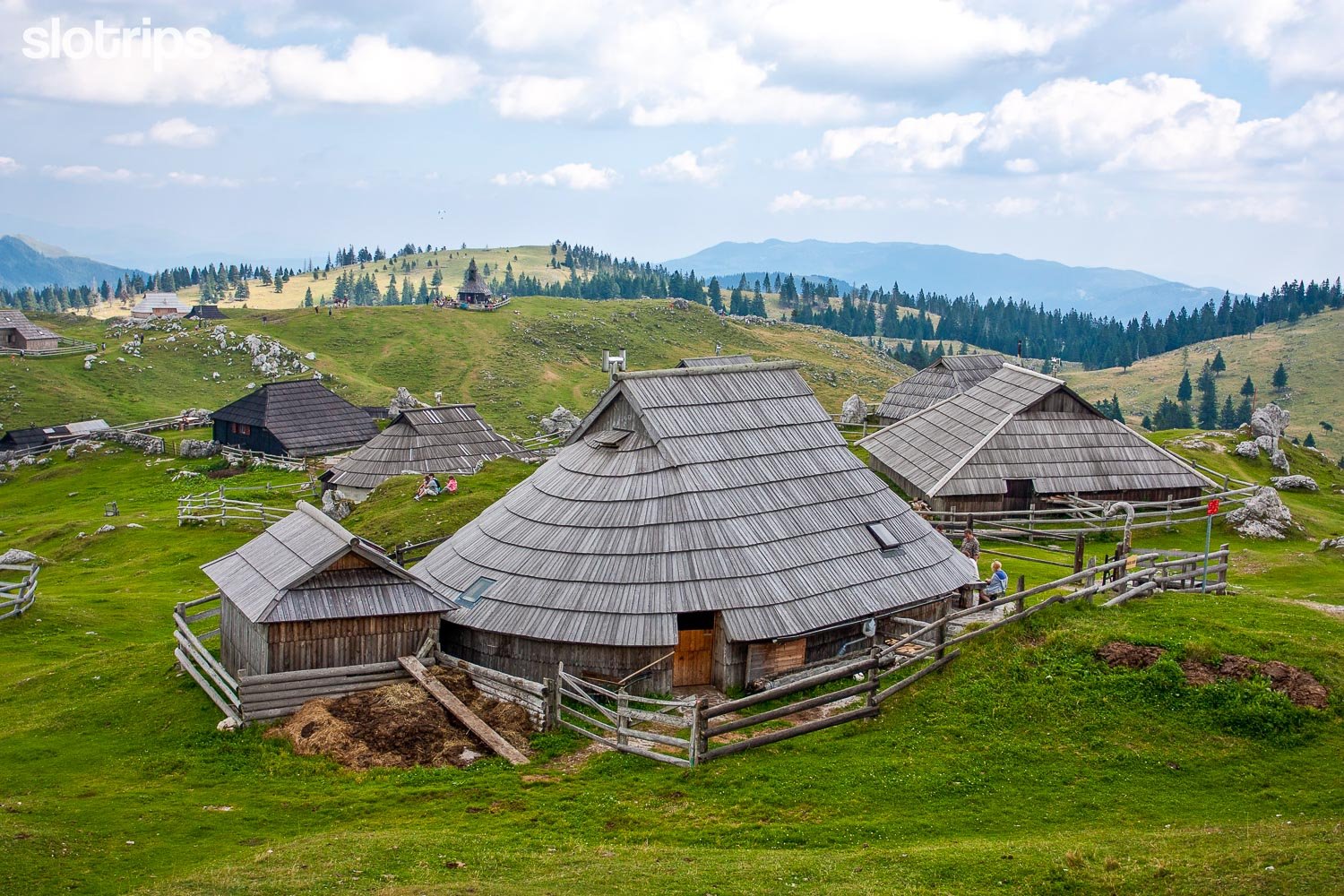
The walk across Velika Planina surely is one of the best easy walks in Slovenia’s alpine region.
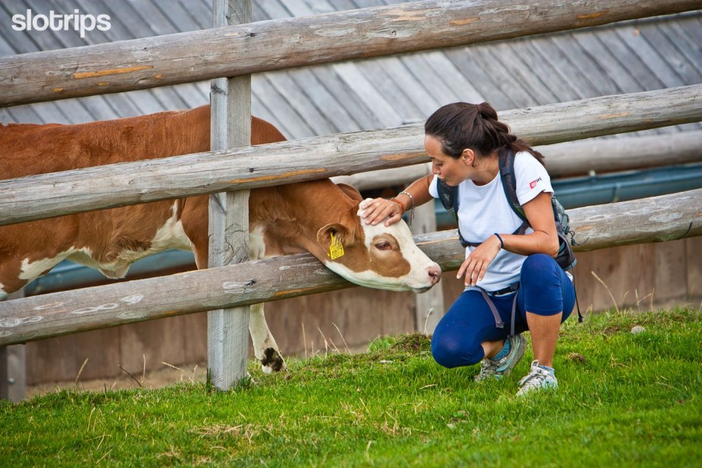
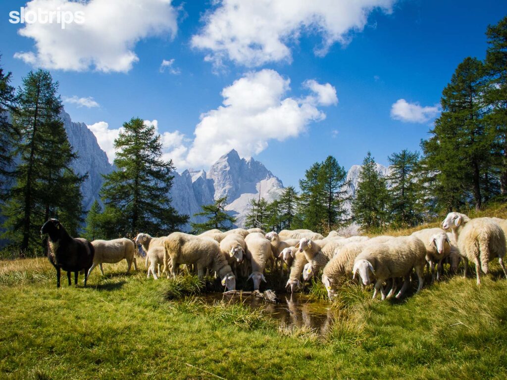
You will take a pleasant, arbitrarily long, and mostly flat walk, passing typical karst sinkholes among herds, flowers, and cottages. Shepherds bring their cattle to the mountain in late June and stay until early September. During this time, the alpine pastures at Velika, Mala & Gojska Planina are the liveliest and some shepherds offer their fresh dairy products and other home-made delicacies. If you prefer a proper meal in a mountain hut, you will find three mountain huts on Mala Planina, with at least one of them (Domzalski Dom mountain hut) open year-round.
Read next: Best time to hike in Slovenia
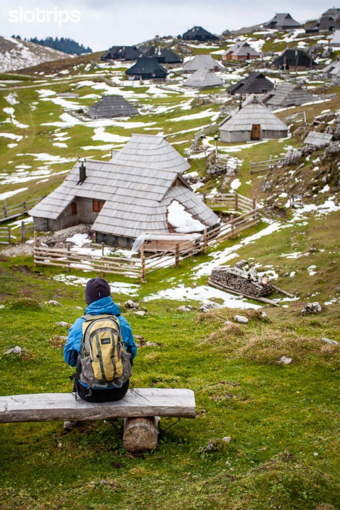
Hiking in the Mountain Pasture Fairytale
The major attraction of this walk is the herdsmen settlement at Velika Planina where it can get very busy, especially on sunny summer weekends. As most of the hikers reach Velika Planina using the cable car from Kamniska Bistrica valley, you will have most of the other trails pretty much to yourself.
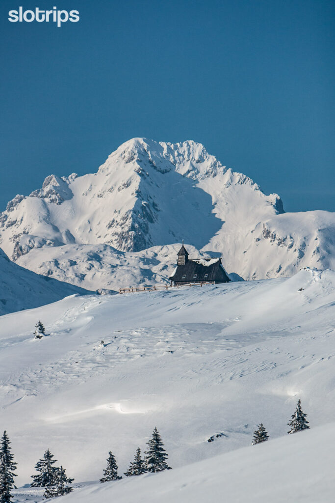
When at Velika Planina, do not miss the lovely Chapel of Marija Snezna (Snow Mary) and the interesting Preskar Museum, where you will learn about local history and the peculiarities of shepherds’ life. The full loop hike lasts some four hours and includes the rocky peak of Gradisce (1666 m) with astonishing looks to Ljubljana Basin and central Kamnik-Savinja Alps massif.
It is not infrequent to get foggy on Velika Planina and when it does, the orientation can be very problematic. We recommend staying strictly on marked hiking trails.
Join our Best Walks in Slovenia hiking trip to get the best of Velika Planina and discover some of its hidden secrets.
Hiking:
Easy
3-4 hours, 9 km (loop hike)
Elevation gain/loss: 350 m
Access:
1h15min drive from Ljubljana or Lake Bled.
Mountain road, Payable parking, No public transport.
Best time to hike:
All year round (cattle is on the meadow from late June to early September).
#2 THE KAMNIK SADDLE & BRANA, Best Serious Hike in the Kamnik-Savinja Alps
If you take the same road north from Kamnik but follow the road along the Kamniska Bistrica valley, you will end up underneath the highest peaks of the stunning Kamnik-Savinja Alps. This hike along a marked trail, very different to the one on Velika Planina, starts at “Dom v Kamniski Bistrici” mountain hut with a big parking lot and a super cold river spring nearby.
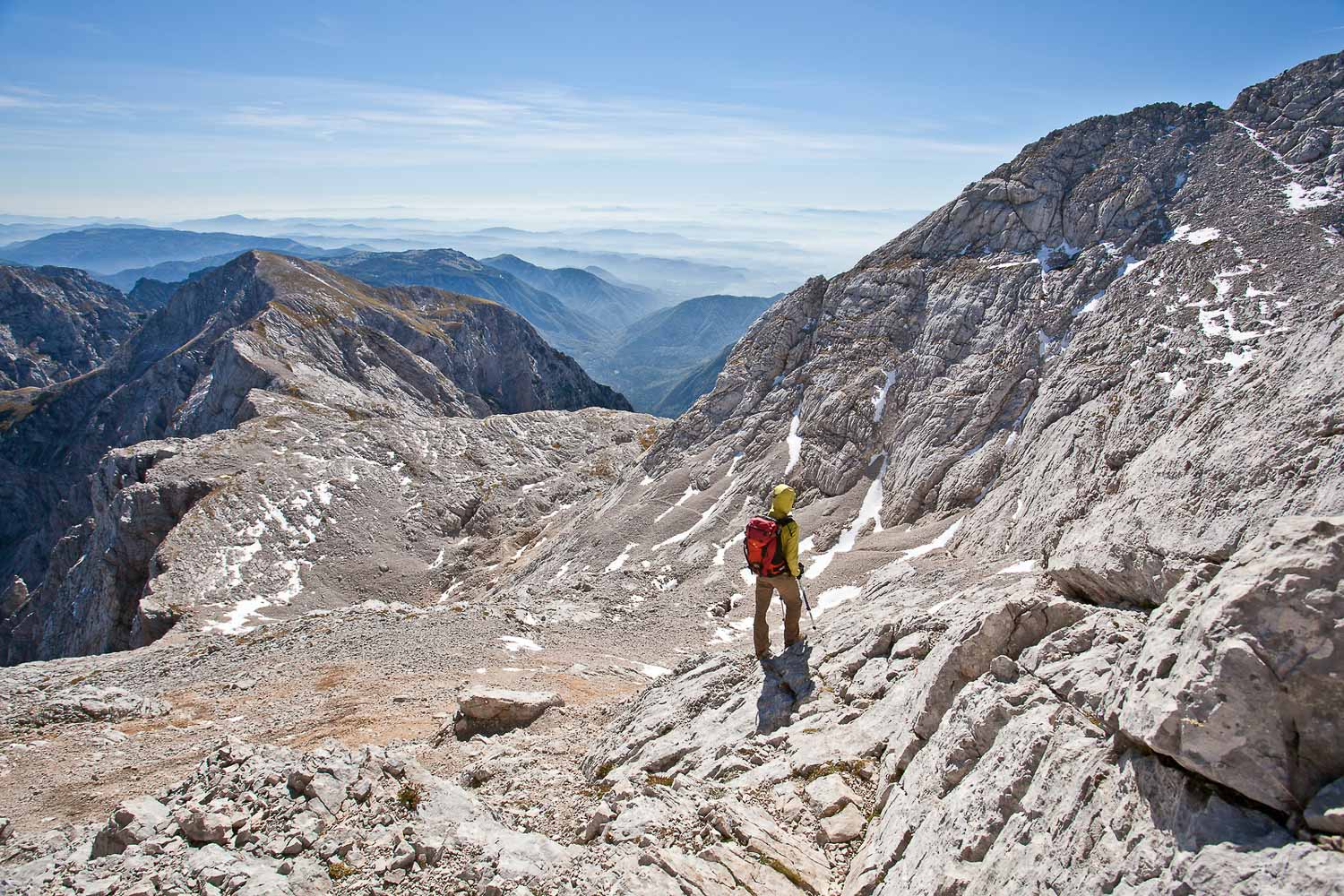
The hiking path first takes us into the forest, under picturesque overhanging cliffs, and then to the popular resting place Pri Pastirjih (At the Shepherds’) on the upper edge of the forest border. From here and up to the popular mountain hut at Kamnik Saddle you’ll walk in switchbacks under grandiose massifs of Brana and Planjava.
In Kamnik Saddle mountain hut you can refresh yourselves (food and drinks available) or even consider spending an additional night there for wandering around neighboring peaks. If so, we recommend hiking east to Planjava and optionally also the jagged Ojstrica peak. Keep in mind that most of the trails above the Kamnik Saddle have some very steep, rocky, and exposed sections, suitable for experienced hikers.
From the top of the Kamnik Saddle, you can enjoy astounding views towards one of the prettiest Slovene Alpine valleys, the Logar Valley, and the tallest Slovenian waterfall, the slender Rinka. The undemanding hike on a marked trail from the parking lot in Kamniska Bistrica valley up to the mountain hut on Kamnik Saddle will take you around 4 hours.
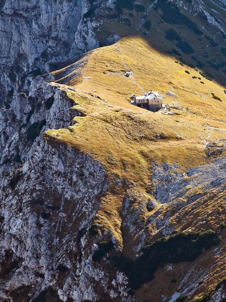
Climbing Mt. Brana from Kamnik Saddle
The last section to the top of Mt. Brana, which takes another hour, is different: the upper part immediately becomes steeper, first with a traverse over scree slopes and then with the upper dome where you will have to use your hands as well. A few shorter – not really exposed but steep – parts are even protected with steel cables. The hike from the Kamnik Saddle to the top of Mt. Brana is considered demanding and is suitable for experienced hikers. Snow can stay on the north sides until early summer and can cause some serious problems. Stay safe!
Of course, at the top of Mt. Brana, you can expect the reward: awesome views all around, especially south in direction of the Ljubljana Basin and west to the central Kamnik-Savinja Alps massif.
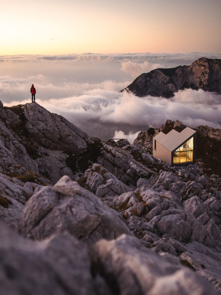
Return back to the valley along the same route and refresh your legs in the cold spring of Kamniska Bistrica river. It is an extremely long day and we recommend adding a night at Kamnik Saddle mountain hut or at the interesting bivouac Pod Skuto (see picture). Contact us for private tailor-made hiking trips in Kamnik-Savinja Alps.
Hiking:
Difficult
8-9 hours, 15 km
Elevation gain/loss: 1650 m
Access:
1-hour drive from Ljubljana or Lake Bled
Free parking, Public transport from Kamnik or Ljubljana.
Best time to hike:
Due to possible snow, we recommend doing this hike from July to September.
#3 OJSTRICA & MALA OSOJNICA, Best Hike at Lake Bled
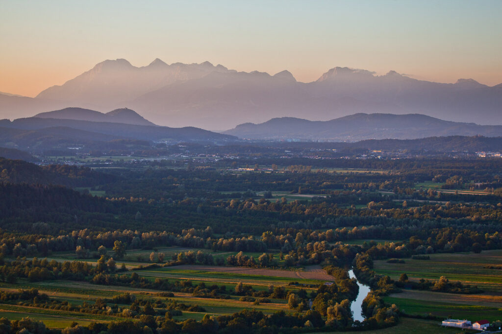
If you’re into Slovenia, then you’re definitely familiar with photos of Lake Bled, the most famous of all Slovene attractions. The majority of those pictures, with an island with a church and a curtain of high mountains behind – the Karavanks ridge and Kamnik-Savinja Alps to the east, were taken from a magical viewpoint above the west shores of Lake Bled.
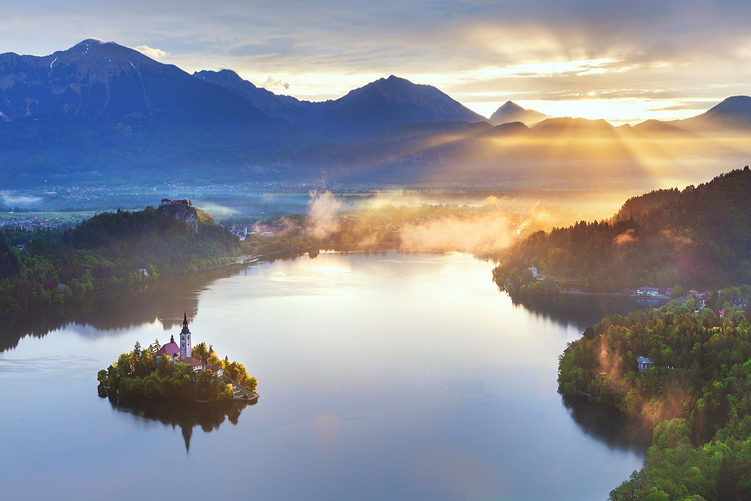
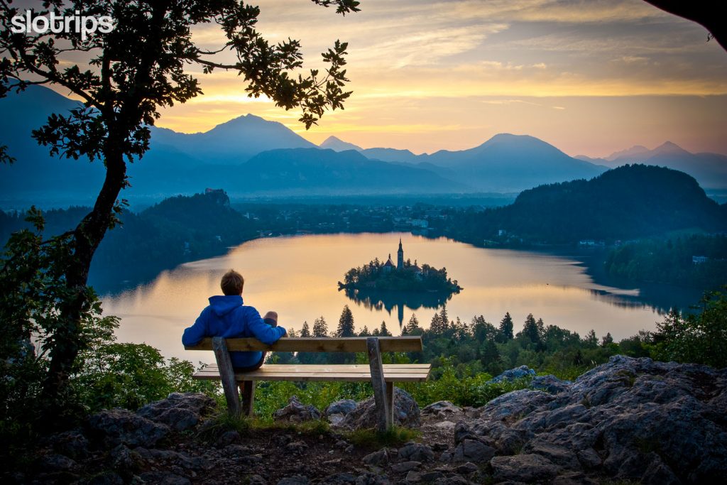
This is Ojstrica, a good 600 m high hill that can be reached from the shore of Lake Bled in less than half an hour. The last few meters are excitingly steep and it is wise to wear proper footwear on those steep and slippery rocks. And, of course, the prize at the top is a proper reward for all the effort, especially if you summit it minutes before sunrise or – with totally different lighting – around sunset time! The perfect spot for your best Instagram shot of Lake Bled. Of course, you shouldn’t expect to be here alone. During the peak summer season, it is a popular walk in the Lake Bled area.
Don’t miss: Best photo locations at Lake Bled
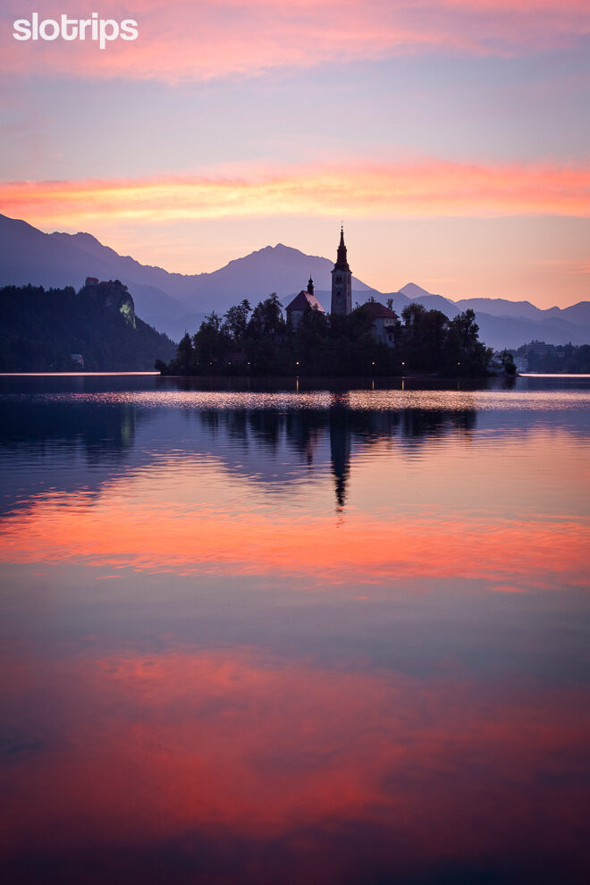
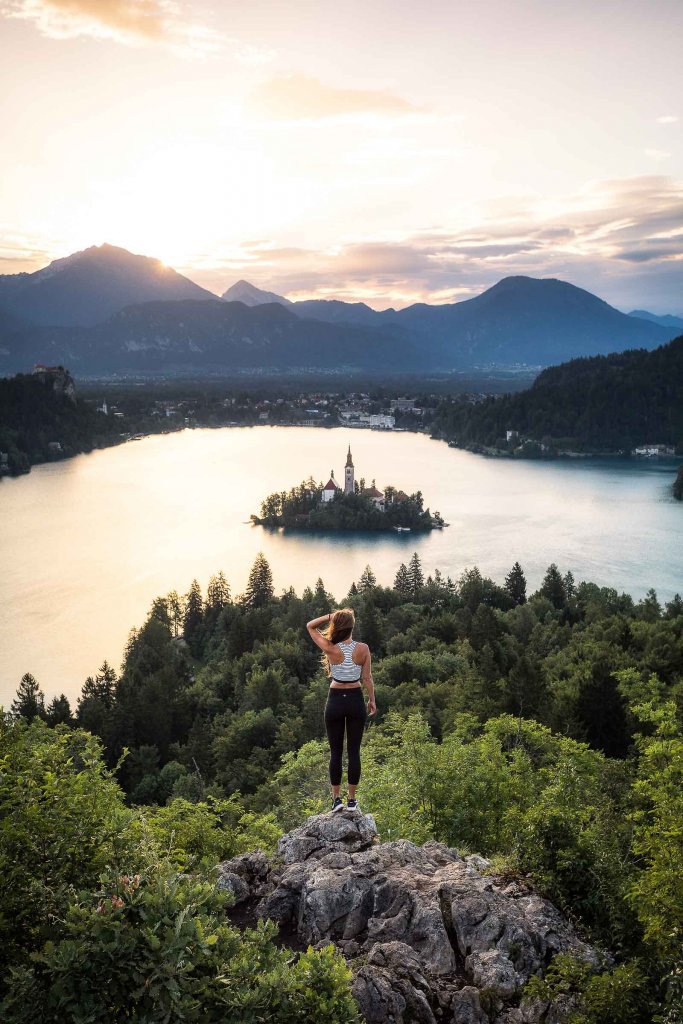
Walking the picture-perfect viewpoints above Lake Bled
If you descend from the top dome of Ojstrica and follow the signposts to the right, through the forest in direction of Mala Osojnica, in less than 15 minutes you’ll reach another unforgettable rocky viewpoint! The view from Mala Osojnica is quite different as you are much higher above the lake and the altitude gives you a completely new perspective.
The direct path from Mala Osojnica back to the lake takes you over a steep staircase and across steep terrain in switchbacks. If you are not comfortable with such walking trails, simply return along the path you came up.
This really is a short hike and we recommend you to combine the ascent to Ojstrica and Mala Osojnica with a stroll around Lake Bled, which will not take you more than an extra hour. Take our self-guided active tours or our guided walking tours to discover some other natural treasures in the Lake Bled area.
Hiking:
Easy, with some steep sections
1.5 hours, 3 km
Elevation gain/loss: 230 m
Access:
If you are not staying at Lake Bled, we recommend coming by public transport. There are hourly buses from Ljubljana and Lake Bohinj. If you are coming by car during the main season, be early to find a spot.
Best time to hike:
Anytime. Be careful in the snow.
#4 GOLICA, Best Hike in the Karawanke Alps
It is time to head to the striking Karawanks ridge, the longest mountain range in Slovenia, which in the north separates Slovenia from Austria. Among the many peaks that offer equally unforgettable hiking tours & views, we have chosen for you an easily accessible peak above the steel town of Jesenice, very close to Lake Bled. It is Golica – one of the best hikes in the Karawanke Alps. Very popular with the locals and also sung about by – according to some data – the worldwide most played instrumental song.
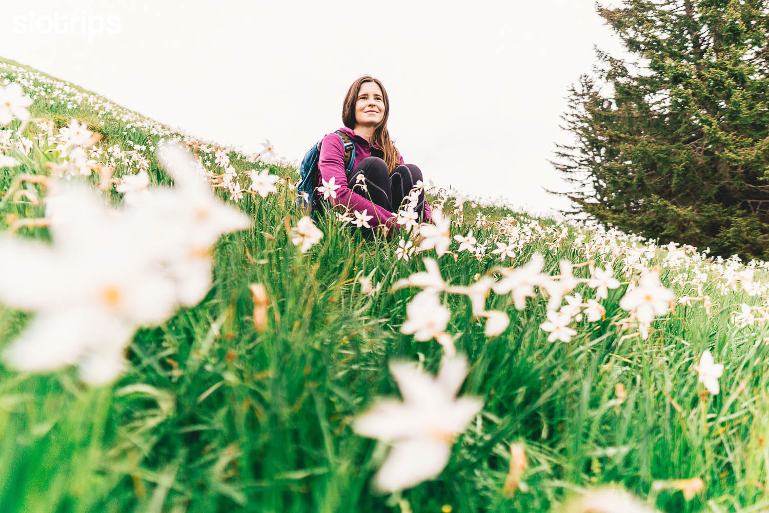
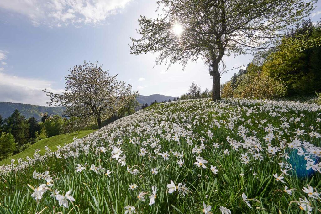
The charms of Golica (“golica” meaning “little barenaked”) are famous far and wide, mostly because of the carpets of blooming white daffodils rarely seen elsewhere. The daffodils densely cover the sunny southern slopes once again almost immediately after the winter snow is gone.
Let’s start this hike in the last village Planina pod Golico. From here a marked trail between streams, ridges, and winding passages leads you up to the forest border, where “Koca na Golici” mountain hut flourishes on a bellavista ridge, safe from avalanches. Here you can refresh yourselves before continuing the ascent along the top grassy slope.
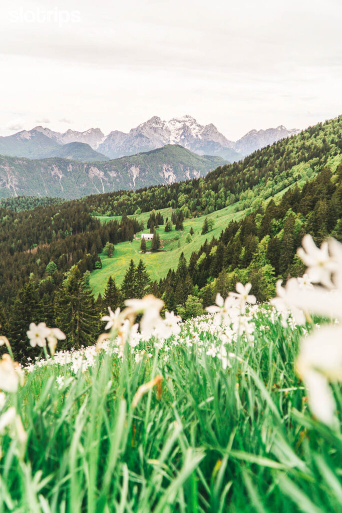
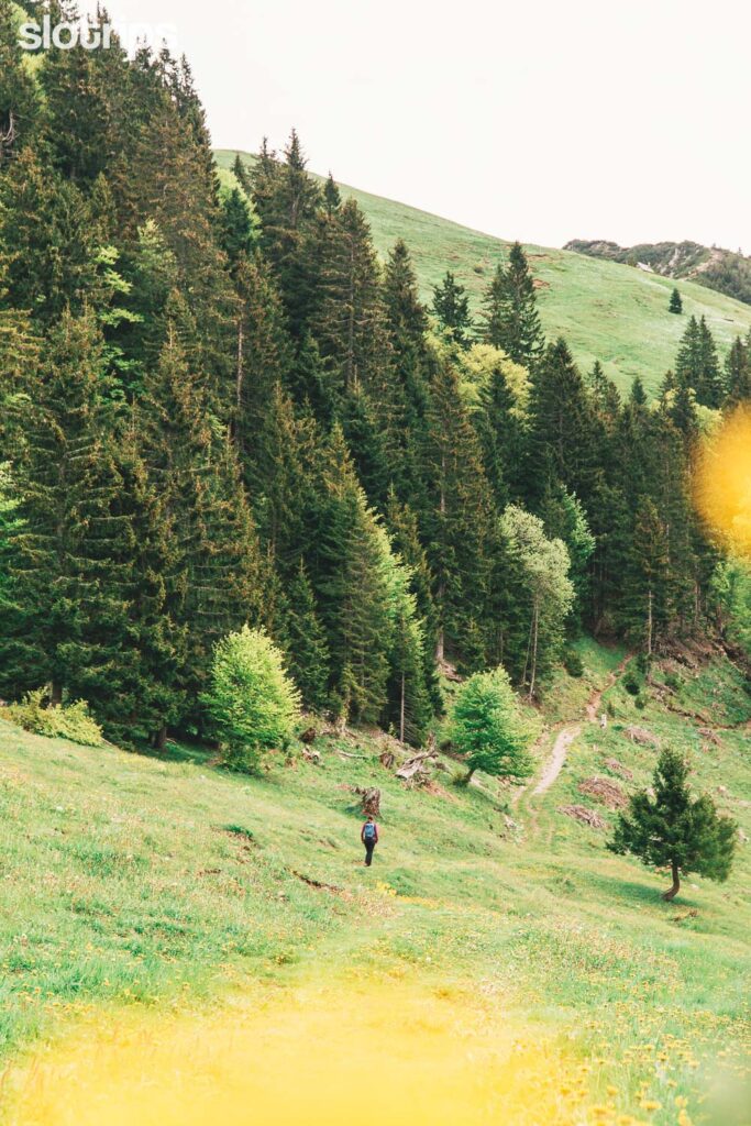
Hiking through endless fields of daffodils
The hiking trail takes you in switch-backs along the popular Slovene mountain transversal up to the much more scenic peak of Velika Golica (1834 m) – right on the Slovenian-Austrian border. From here you’ll have views of the Julian Alps and in the north all the way to Austrian High and Lower Tauern. The hike is just one big pleasure and if less than three hours to reach the summit are not enough for you, you can honour yourself with an additional walk along the entire peak ridge in either direction. Our semi-circular hike will follow the ridgeline towards east, across Mala Golica, and make a loop back to meet the path of our ascent.
Feel free to choose your own route as the hiking trails here are well marked and maintained.
Hiking:
Moderate difficulty
5 hours, 10 km
Elevation gain/loss: 930 m
Access:
1-hour drive from Ljubljana.
30-min drive from Lake Bled.
Free parking.
Best time to hike:
From May (blooming daffodils) to October.
#5 VISEVNIK, Best Short Hike in the Julian Alps
Hello, magnificent Julian Alps! And they’re not greeted just anywhere, but at the eastern entrance to the Triglav National Park, one of the first European protected nature parks. Today’s hiking trailhead is in the middle of popular Pokljuka, a karst plateau with more than 5,000 hectares of mostly spruce forests.
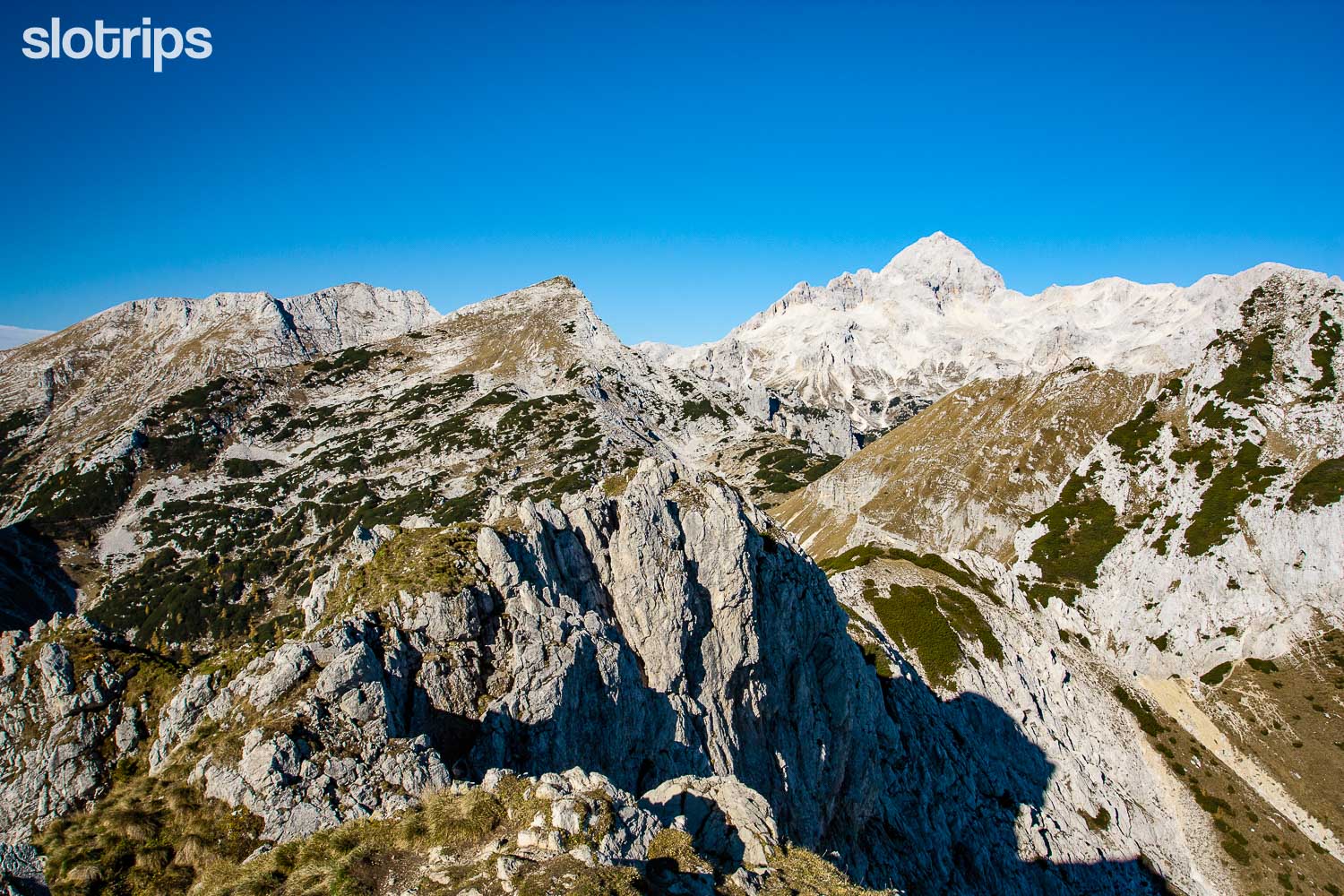
You will ascend to the first serious two-thousand-meter peak on the high edge, from which Pokljuka breaks down into the beautiful glacial valley of Krma. Visevnik is also a popular hiking destination among locals, as it brings you to the very threshold of the kingdom of Triglav with a not too demanding ascent. Due to the easy access and stunning high alpine views, it is a popular hiking destination in winter as well.
Although technically an undemanding hike, it will require two hours of a persistent hike into steep slopes. At first through the forest to a leveling on a charming saddle, from there through a belt of dwarf pines, and along a grassy dome to a rocky peak. In or after the rain the first part of the trail can be uncomfortably muddy, but on a beautiful sunny day the trail is pleasant, and above all, you’ll get magnificent views throughout the eastern Julian Alps.
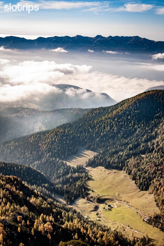
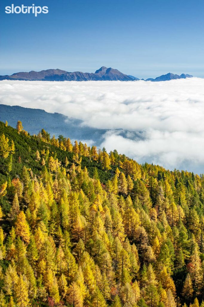
Hiking face-to-face with Mt. Triglav
Visevnik is undoubtedly one of the most photogenic peaks in this part of the Alps – in a very modern sense of the word. If you think it would be a pity to end a wonderful day too quickly, you can round up the route with more than ten variants of descent, or climb to the top via a steeper western trail over Srenjski Preval saddle.
If you would like to extend this hike into a multi-day hut-to-hut hiking trip in the Julian Alps, our Mountains & Lakes self-guided hiking tour will do just that!
Hiking:
Moderate difficulty 4 hours, 7 km Elevation gain/loss: 700 mAccess:
1h15min drive from Ljubljana. 30-min drive from Lake Bled. Free & payable parking. Public transport in summer from Lake Bohinj.Best time to hike:
From June to October. In other months as well but with poper gear and experience with hiking in snow.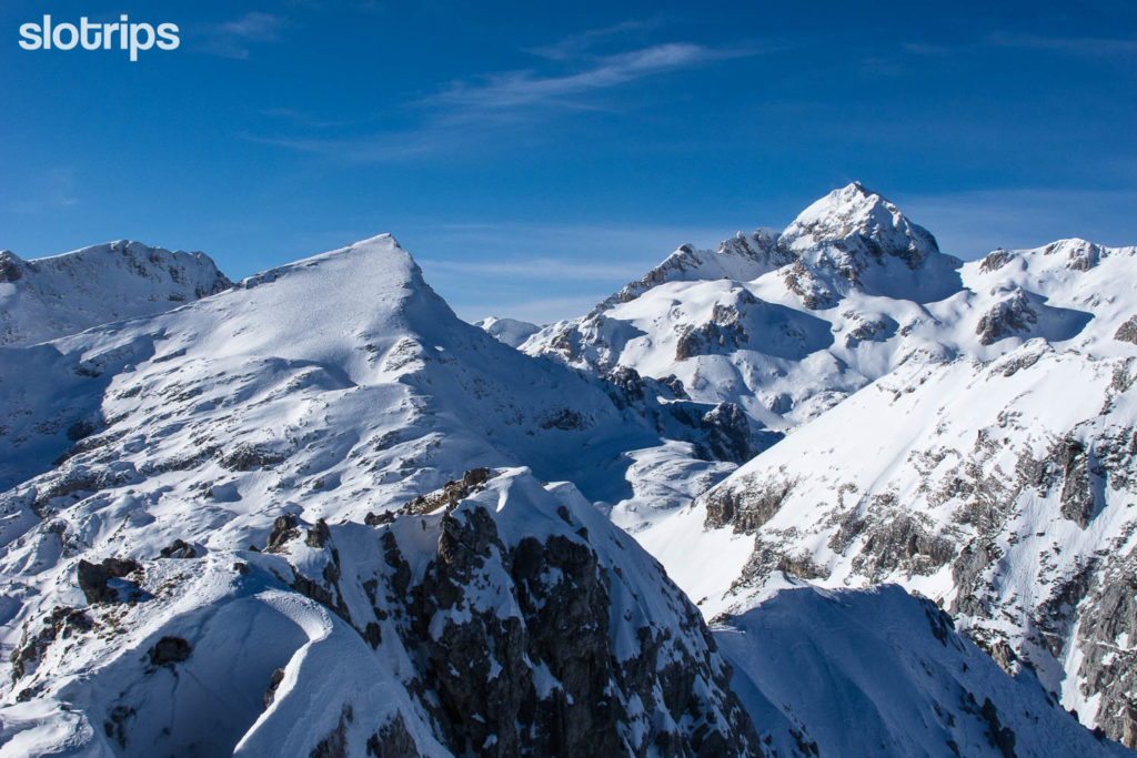
#6 VOGEL, Best Hike at Lake Bohinj
Here is another amazing hike inside the Triglav National Park! This time above the southwestern shores of Lake Bohinj, the largest natural lake in Slovenia. It lies just before the end of the beautiful glacial valley of Bohinj, which is one of Slovenia’s most popular summer alpine destinations. Rightfully so!
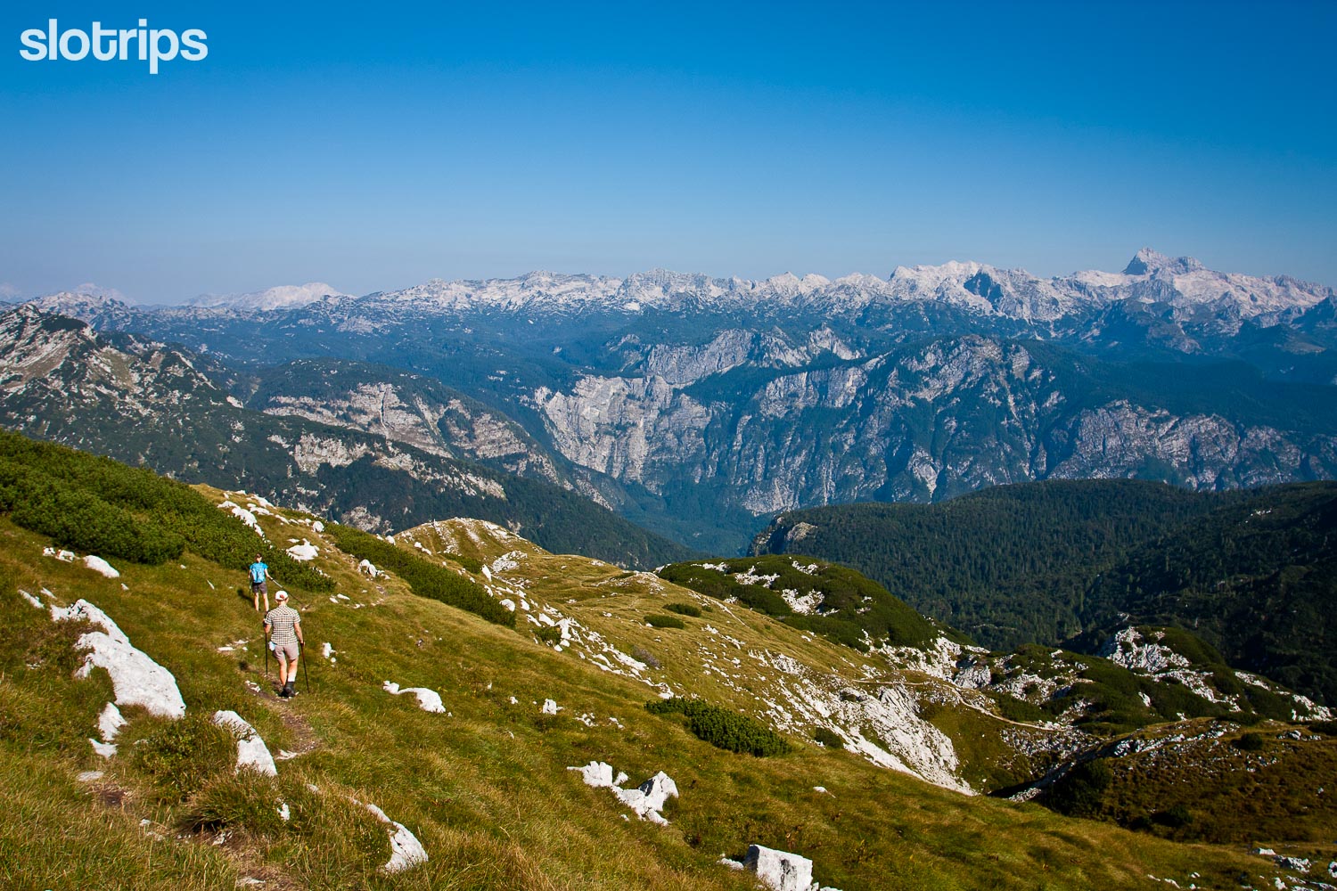
Since Vogel is also one of Slovenia’s most visited ski resorts, we can reach the picturesque starting point of this hike with only a five-minute ride with a cable car. The ski center is named after our today’s destination, an elegantly pyramid-shaped peak on the border between the Julian Alps and the Slovene subalpine region. In recent years, the Vogel ski resort has been almost more popular during the summer seasons, as it offers a lot of amazing hiking trails. Including a great start or finish point of possible multi-day trekking through the Triglav National Park.
Let’s catch the cable car, getting you up to above 1500 meters! The first hour will be a pleasant hike through pine trees and over broad ski slopes. Once you leave the ski slopes behind, you’ll switch to an equally pleasant narrower trail over cute ribs, ridges, and an exposed short traverse. You will cling to a reliable steel cable, that will slowly bring you from subalpine to high-mountain surface.
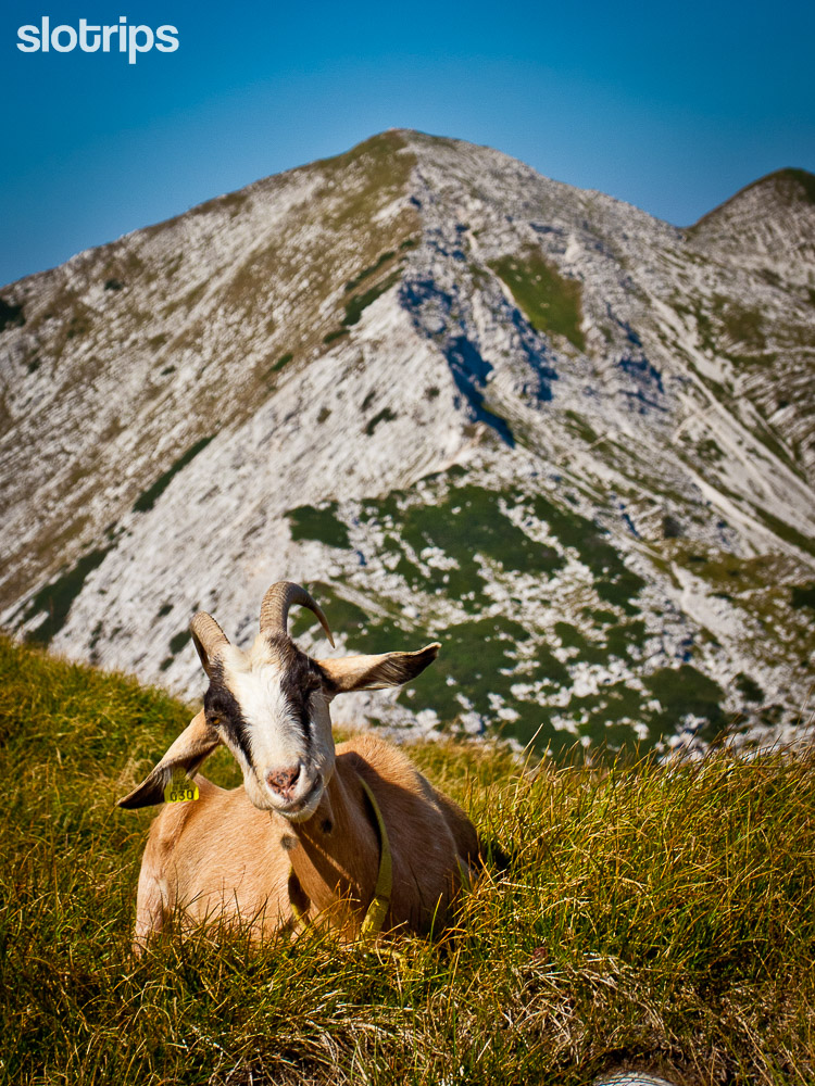
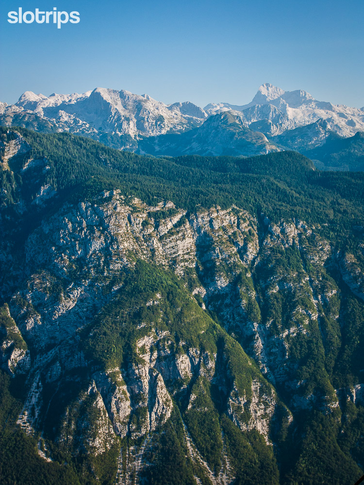
Hiking high above the beautiful Lake Bohinj
As you get higher, the views will change, too! The summit will, of course, present you with additional astonishing vistas towards the Adriatic coast and the whole Triglav kingdom. Let’s make a partial loop and descend along the neighboring trail, passing romantic Planina (mountain meadow) Zadnji Vogel with its cute cheese cottage, where cheesemaker Janko and shepherdess Nina can offer you dairy delicacies.
After you return to the ski center, you can catch the enchanting views of Lake Bohinj and Triglav again and return to the valley by cable car. A well-deserved refreshment awaits in the crystal clear waters of Lake Bohinj!
Extra tip: If you would like to shorten the hike, at least make it to the Sija peak. You will get (almost) all the views from there.
Hiking:
Moderate difficulty
5 hours, 11 km
Elevation gain/loss: 720 m
Access:
1h15min drive from Ljubljana.
30-min drive from Lake Bled.
Free & payable parking.
There are hourly buses from Ljubljana and Lake Bled as well.
Best time to hike:
From July to October. There can still be some snow in June.
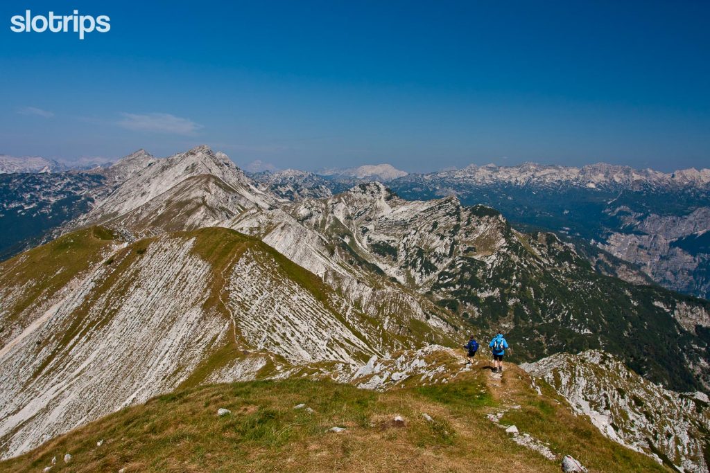
#7 THE VALLEY OF SEVEN TRIGLAV LAKES, Best 2-day Hike in the Julian Alps
Visiting Bohinj or Bled you would probably never forgive yourself not to enter the vastness of Triglav, the center of the Triglav National Park itself. We offer you an inspiring two-day circular hike on the most secluded trails of the Julian Alps. Plus a walk through perhaps the most beautiful high-alpine valley, which fills your soul and body.
Let’s start it with a warm-up climb through pine forests and across a few active & picturesque mountain meadows, where we will walk among cottages, cows, and karst sinkholes. On the romantic Planina (meadow) Dedno polje, which stays the same as in the old days, you can refresh yourself with home-made dairy delicacies.
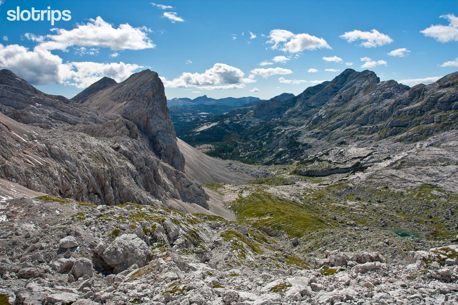
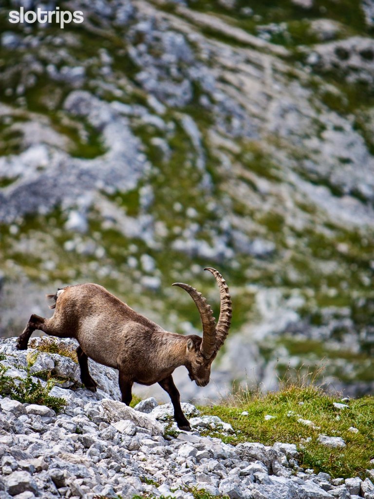
After that, let’s head to the lonely but majestic valley Za Kopico, after which you gradually climb – with a venerable 2200 meters – one of the highest high-mountain passes around. Take a look at the ridges above you every now and then. You will almost certainly see curious chamois watching you, and you may also meet ibex or spot some edelweiss flowers.
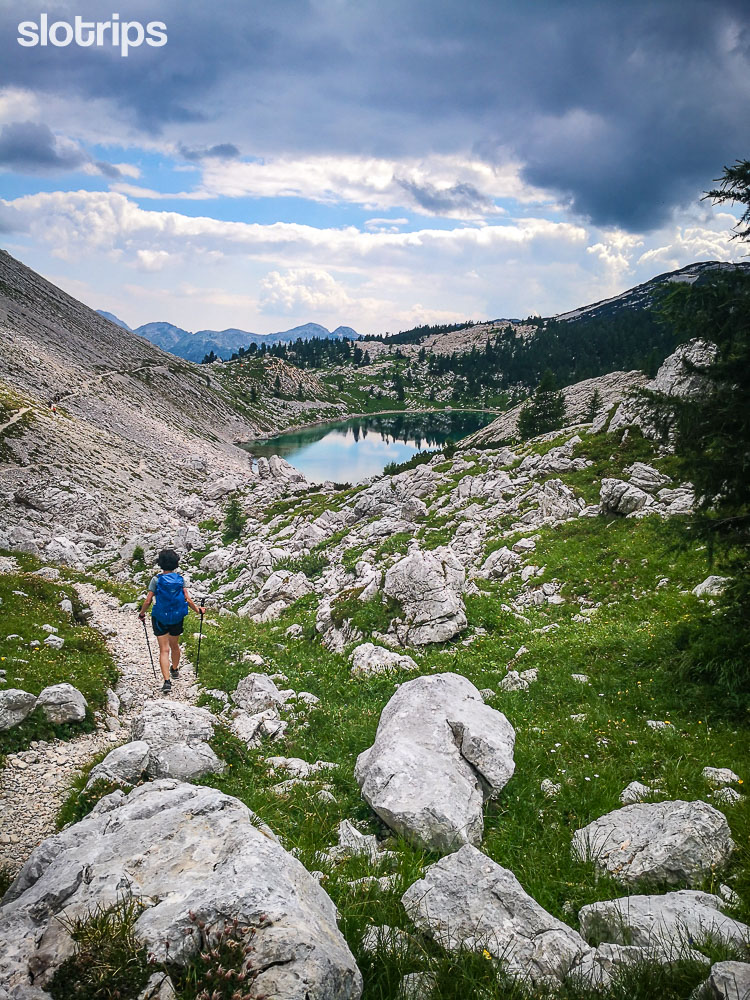
You will soon enter the beautiful alpine valley of the Seven Triglav Lakes, the heart of Triglav National Park, which was established a hundred years ago with the very aim of protecting its beauties. On the way to one of the best high-mountain huts in Slovenia, Zasavska Koca na Prehodavcih, you will quickly see why the Valley of the Triglav Lakes is calling for you to take photos.
Zasavska Koca na Prehodavcih is a quite simple mountain hut. You’ll refill water at a spring, about a 10-minute walk from the hut, you will need to use the dormitory rooms and get used to the pit toilet. But the friendly staff and the unbeatable views from the terrace will make it an exciting hiking adventure.
Hiking in the Goldhorn’s Kingdom
Next morning you will descend down the valley, also past the most famous and considered by many the most photogenic lake of them all – Ledvicka (The Kidney). What will its characteristic shape remind you of? At the other end of the valley, you will find the famous Double Lake and a relatively large building by its shore, the popular Triglav Lakes hut.
At the Triglav Lakes hut, you leave the valley of Seven Triglav Lakes to hike the picturesque, but steep trail via Stapce Pass. For a bird’s view of the valley of Seven Triglav Lakes, optionally climb the scenic Mala Ticarica summit and enjoy the views of the trails you have hiked the past two days. Soon return to the wide paths leading you back to the romantic Dedno Polje meadow and further on to the starting point.
The hike is a sheer highly enjoyable journey through the beauties of the kingdom of mythical Goldhorn – the ibex with golden horns – the protector of the valley!
To make it a 3-day hut-to-hut hike, join our scheduled guided tours or get a private one.
Hiking:
Moderate difficulty 2-day hike Total: 12 hours, 24 km Elevation gain/loss: 1500 mAccess:
20-min from Lake Bohinj along a narrow & payable mountain road. On summer weekends the parking lot can be very busy. We recommend using the free shuttle service provided by the Bohinj municipality.Best time to hike:
From July to September (when the mountain hut is open). In snow, some passages can be very difficult and should be only done with proper gear and experience!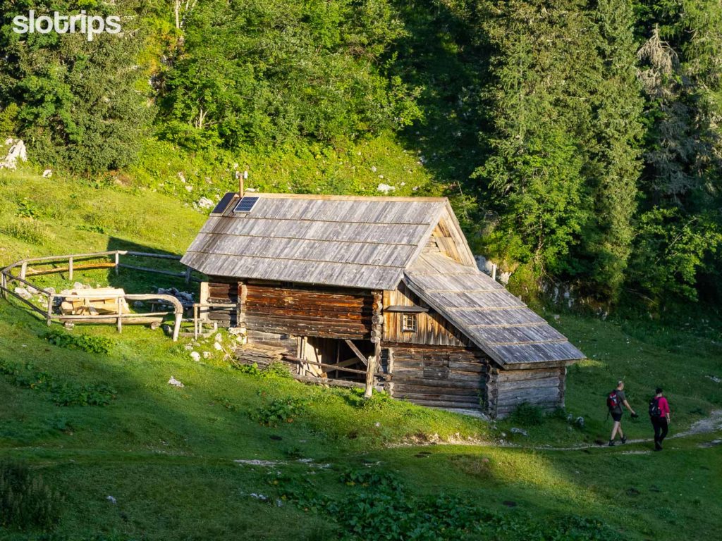
#8 SLEMENOVA SPICA, Best Easy Hike in the Julian Alps
Yes! Slemenova Spica or also called Sleme is one of the most visited hiking trails in Slovenia. Again, there is a reason for this: it is also one of the best hikes in Slovenia and the Julian Alps. You have easy access to the treeline via the stunning Vrsic mountain road, the hiking trails are well marked and technically easy, plus you get unparalleled panoramic views of the highest Slovenian peaks. Avoid the busy hours of the day, by starting your hike early or staying late to catch the last sunrays.
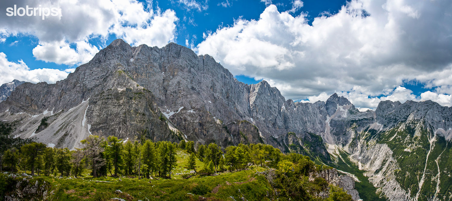
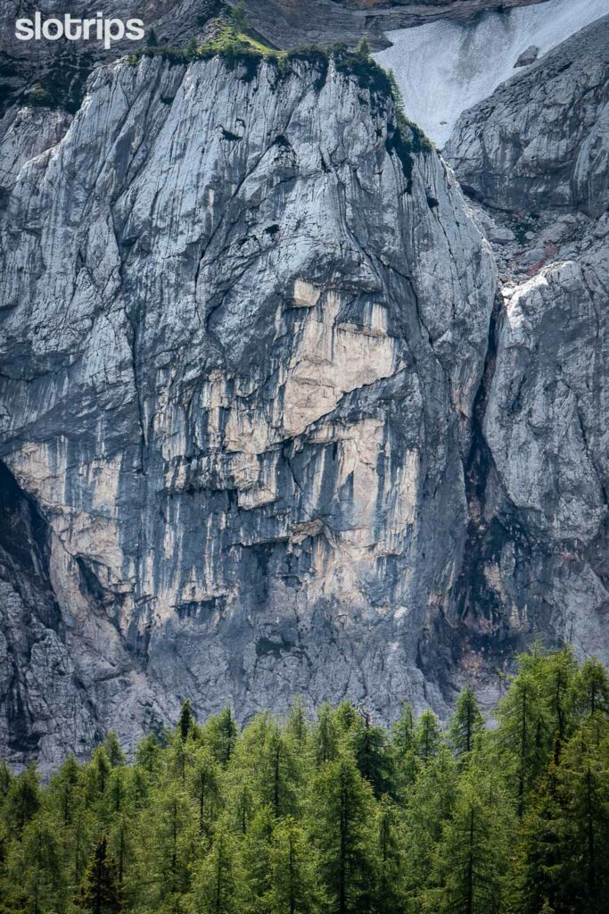
You’ll start the hike from the top of the highest Slovene road alpine pass, Vrsic above Kranjska Gora. Cross the scree slopes to reach the saddle and take time to enjoy the majestic view of Mt. Prisojnik behind your back. We also have a riddle for you: try to spot the rocky face of the Pagan Girl in Prisojnik’s North Wall (see photo below). And no, it is not man-made!
Passing the saddle you have entered one of the most beautiful sections of the Julian Alps! To the north, you will see a chain of mighty Ponce peaks above the valley of the same name. This is Planica, the cradle of Slovenian nordic sports (ski-jumping and cross-country skiing) and the home of one of the biggest ski jumping hills in the world.
To the west, you will spot the face of mount Jalovec, considered by many the most beautiful Slovene peak. Its shape reminds of a sharpened precious stone, as it is also called – the Diamond. Another trail from the saddle also leads to the entrance of the popular via-ferrata route to the top of Mala Mojstrovka peak. If you ever look in that direction later along the trail, you may find tiny climbing dots in the wall.
The most photographed sight in the Julian Alps
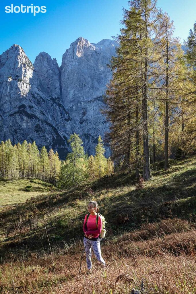
The pleasant hike brings you to the pyramidal grassy peak of Slemenova Spica, at the foot of which hikers can’t help but rest in a fairy-tale mountain environment on a beautiful day. Just walk to the narrow top, from where the views will only be more inviting. Enjoy these beauties all around – you are at a respectable height of more than 1900 meters!
You can return back to the saddle across the scree slopes below the walls of Mojstrovka (much fewer hikes, but partly uncomfortable scree) or stay on the same path on your way back.
Here is an idea, if you would like to incorporate the hike to Slemenova Spica into a multiday hiking tour along the Alpe-Adria Trail.
Hiking:
Easy
3 hours, 5 km
Elevation gain/loss: 450 m
Access:
1.5-hour drive from Ljubljana.
1-hour drive from Lake Bled.
Payable parking.
In summer there are several daily buses between Kranjska Gora and Bovec.
Best time to hike:
From July to October. In May and June there can still be snow, which can make some passages dangerous.
#9 THE SOCA TRAIL, Best Valley Walk in Slovenia
The Soca Trail hike is completely different from all the other hikes on our list. It is the best valley walk in Slovenia and follows the prettiest Slovene river from its source under the highest peaks of the Julian Alps, all the way to the town of Bovec further down the Soca Valley. At the same time, it is also our longest one-day hike. This is a popular, well-marked, and well-maintained 26-kilometer Soca Trail, which is also a part of the famous long-distance Alpe-Adria hiking Trail, connecting Austria, Slovenia & Italy.
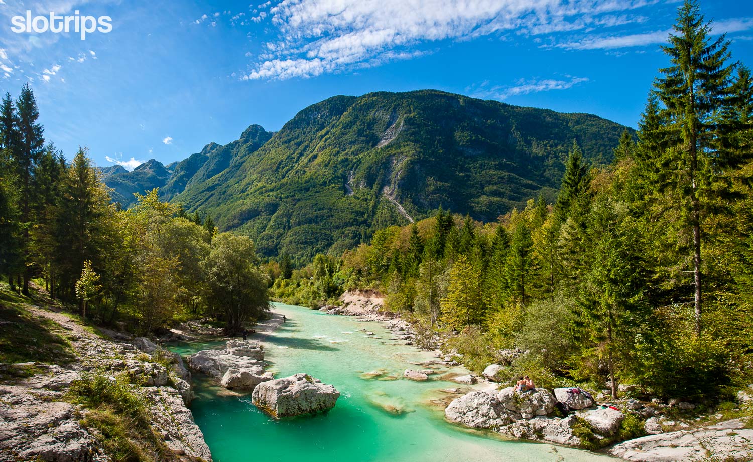
The trail winds just as neatly as the Soca River itself. You will walk a little along its left, a little along the right bank, over picturesque suspension bridges, through beautiful mossy forests, past numerous tributaries and troughs. You will start the journey at the source of the Soca and soon pass the monument to the writer of the best books about Julian and the other Alps. It is Julius Kugy, who rests above the emerald river, gazing at the Diamond, the top of Jalovec.
On the way, you will find countless cute spots for a short break and marvel at the towering peaks of the Julian Alps rising above you. You will be amazed by the real wonders of nature, the famous Small and Great Soca Gorges, where the river has carved deep into the limestone and shaped inviting turquoise river pools. You can also bathe in them or in one of the tributaries of the Soca – but be careful. The mysteriously green-blue water is typically mountain-cold even in the summer heat.
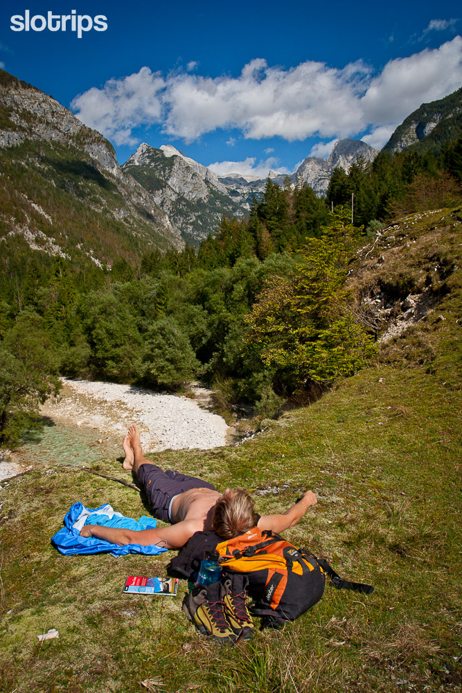
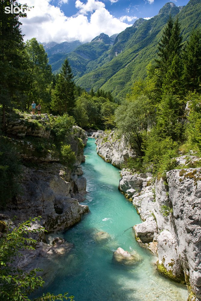
Take time to enjoy your hike along the Soca trail
You can make the whole hike from the beginning to its end in Bovec in one day, but you can also shorten it as you wish. Or split it into two days by sleeping in one of the accommodations on the way. In high season it is difficult to get a bed for one night only, so your best bet might be the campsites. Stop and refresh yourself wherever you want, and above all, take enough time to fully enjoy the beauty of this inspiring hike!
Our favorite way of experiencing the Soca Trail is by doing a 3-day hike & bike tour along the Alpe-Adria Trail from Kranjska Gora to Bovec.
Hiking:
Moderate difficulty
9 hours, 26 km
Elevation gain: 400 m / loss: 870 m
Access:
Take a bus or taxi from Bovec to the point where you want to start the hike along the Soca Trail and return back to Bovec on foot.
Best time to hike:
From May to October.
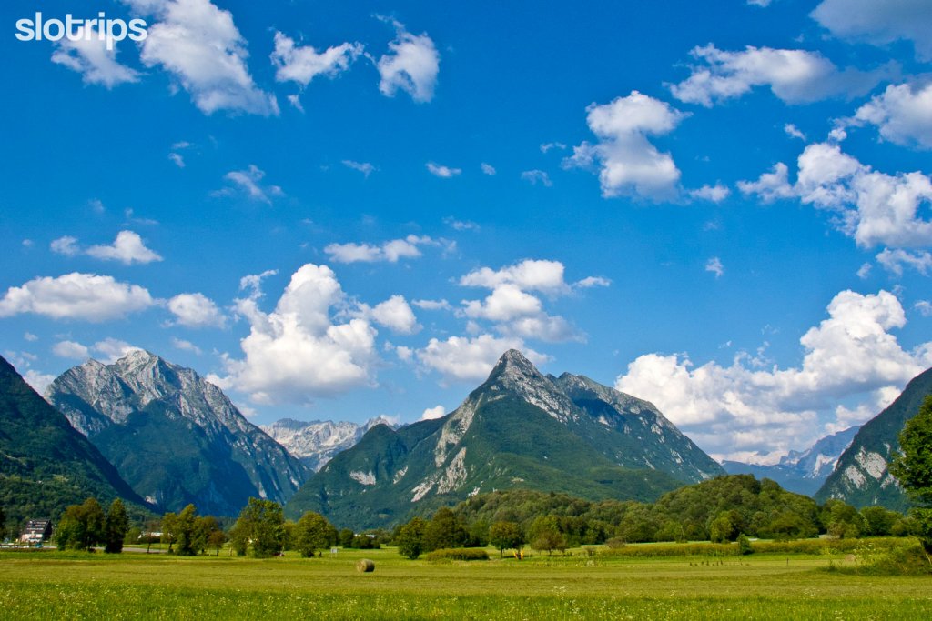
#10 THE KRN LAKE, Best WWI Hike in the Soca Valley
The last few hikes on our “10 Best Hikes in Slovenia” list are not only related to mountains but quite closely also to waters. This is understandable since Slovenia has an abundance of water, which is still quite well preserved. Therefore, the last proposal, located the westernmost of all, also close to the western border of the Triglav National Park, should lead us to water. This time we are hiking to the largest Slovene highland lake, Lake Krn.
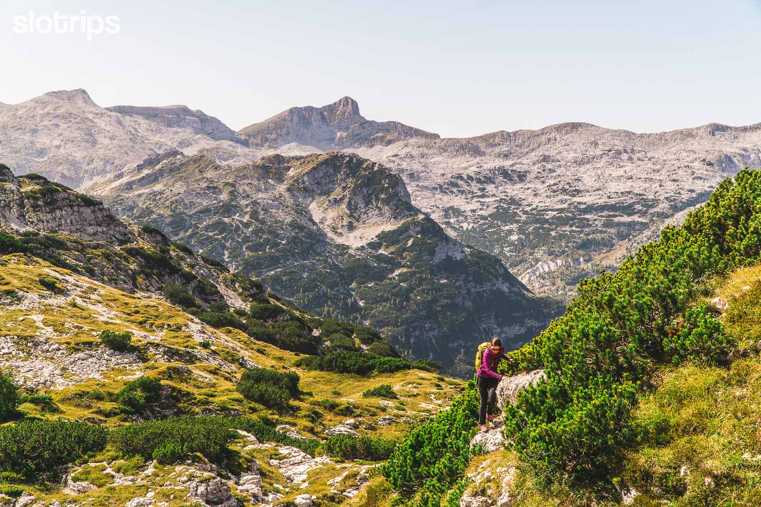
The lake of glacial origin lies at 1391 meters above sea level and is situated in an idyllic valley under the mighty walls of the surrounding 2,000-meter peaks. We will start the hike at the end of the long, picturesque Lepena valley, at the last parking lot near “Dom dr. Klementa Juga” mountain hut. You will immediately hit one of the most beautifully designed and well-preserved mule tracks in the Julian Alps. Ascend along its switchbacks so elegantly and intricately that you will not even notice how masterfully the former military supply route winds between the precipices of the peaks above.
After two hours of enjoyable hike in the forest, you will slowly step out into the open. Pass the “Dom pri Krnskih Jezerih” mountain hut and then along the vast pastures past the shepherd’s cottages to Lake Krn. Rest & enjoy the sun and peace along the banks of the lake, but do not swim in it. You are very close to the pointy peak of Mount Krn, which was the scene of bloody fighting along the battle line between Italy and Austria-Hungary during the 1st World War. You may feel some respectful restraint in the rock stacks above.
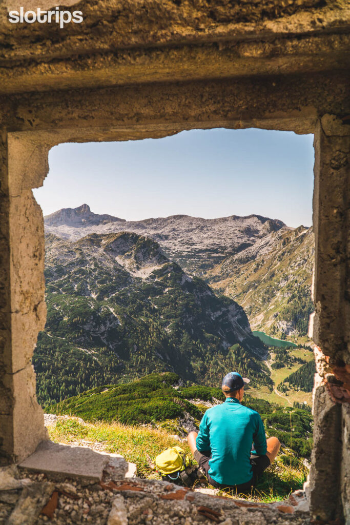
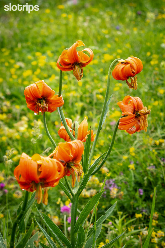
Hiking the lonely summits above Lake Krn
The beauty of this hike lies above the tree line. Spend a night or two in the Krn Lake mountain hut and explore the lonely peaks in the area: Baba, Montura, Smohor, Batognica, and the summit of Krn. A true alpine paradise!
If you do explore the many well-marked hiking trails in the area, you can still come across the remnants of the war and the Rapallo border, which divided Slovenia (or in that time Yugoslavia) and Italy during the last two world wars. If you are up there at the right time (early summer), you will be greeted by mountain flowers all around, as well as many endangered and protected species.
Hiking:
Moderate difficulty
4-5 hours, 11 km (+ extensions)
Elevation gain/loss: 750 m
Access:
30-min drive from Bovec.
Free parking / No public transport.
Best time to hike:
From June to October.
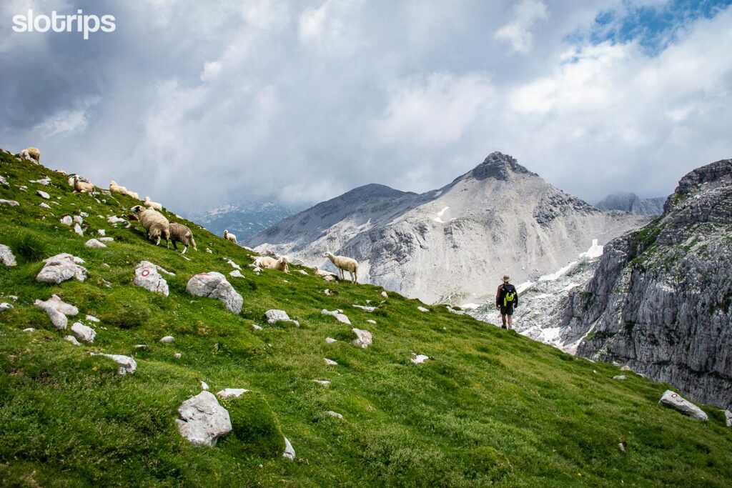
#11 KOFCE PASTURE, Best Family Destination in the Karawanks
Ready for a jump into the Karawanks? The Kofce Pasture is their most famous gem nestled just above the town of Trzic. With easy access to the Karawanks highlands and a variety of hiking options, it is an inviting destination for hikers of all experience levels. While it can be a final destination for a family with young children, it can only be a take off point to the neighboring peaks for experienced hikers. Breathtaking scenery, rich history, and diverse trails won’t leave you indifferent.
The trails meandering through the dense woods bring you to a lovely alpine hut. Located just above the treeline (1488 m asl) the Kofce mountain hut offers amazing views stretching all the way to the Julian Alps with the majestic Mt. Triglav dominating the horizon.
With the cattle grazing among the rolling meadows and local families gathering there for weekend hiking you will feel the lively atmosphere – a perfect mixture of culture, tradition and heritage. As the hike is not too strenuous, Kofce is a popular destination for families with children. The little ones over 5 years of age can do it without any problems. Arriving at the hut, they are greeted by a charming playground and offered the sweet reward – traditional Slovenian ‘Struklji’, best ones in the region the locals are sure. But don’t worry – it’s also easy to find tranquility in the middle of the vibrant feel. Leave the hut behind and wander further exploring the pastures. Sit down on a patch of grass, and immerse yourself in the views.
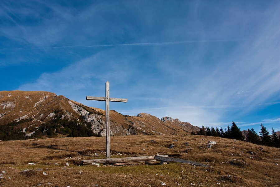
Hiking Slovenia’s longest mountain ridge
Is Kofce Pasture your final destination? Do yourself a favor and take a 10 minutes walk above the hut to a little cross – the views significantly expand there already. If you’re done with the steep challenges but would like some more easy wandering, make a loop hike to Šija Pasture (1,5 hours) or extend it to Pungart Pasture (4 hours).
Want some more challenge? Kofce Pasture is a wonderful take off to some nearby peaks that will offer even better views. Go to Kofce Gora (Kofce Mountain) straight up from the hut for an additional hour. Catch the panoramic views of the Julian Alps and the shimmering waters of Lake Bled in the distance. From there you can follow the ridge to the left to reach Veliki Vrh (the highest peak in the vicinity) and take a look over the ridge down to Austria. Up for a big hike? Having an extra transfer in the valley, you can traverse the whole Kosuta ridge – 10 kilometers with quite some elevation!
Hiking:
Moderate difficulty.
Arriving by public transfer: 3,5 hours hike.
Arriving by car 1,5 hours hike (+ extensions).
Elevation gain/loss: 750 m.
Access:
By public bus to Trzic.
By car to Matizovec Farm – free parking.
Best time to hike:
Spring, summer, autumn, with appropriate equipment also in winter.




This list is incredibly helpful and your photos are lovely! We are going next week and can’t wait to tackle any of these that aren’t too snowy in early May.